Risk Geoplatform is a comprehensive, cloud-based platform developed by Polaris Digitech Limited that allows organizations to visualize, analyze, and manage their risk exposure to natural, man-made, and geopolitical threats. It provides a unified view of all risk-related data, including real-time hazard and threat information, as well as historical data. The platform leverages advanced analytics and machine learning to identify and prioritize risks, help organizations develop mitigation and response plans, and monitor progress in real-time.
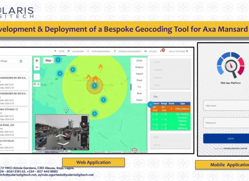
Risk Geo platform was developed and deployed by Polaris Digitech Limited for AXA Mansard and other insurance companies as a Location Intelligence platform. Risk-Geo Platform enables AXA Mansard or insurance companies to be able to evaluate assets that have been insured or that can be insured by their existing and prospective customers.
Key Features
Centralized Repository
Polaris Digitech Risk Geoplatform serves as a centralized repository for various types of risk data, including natural disaster data, insurance dealings, political risk data, and crime data.
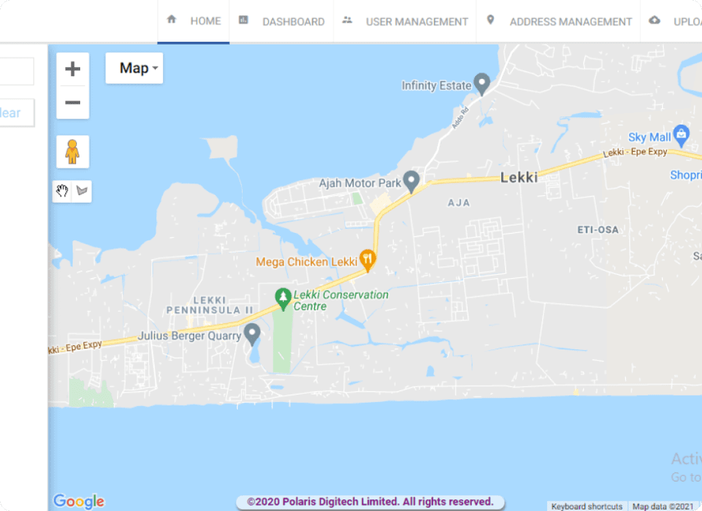
Geospatial analysis
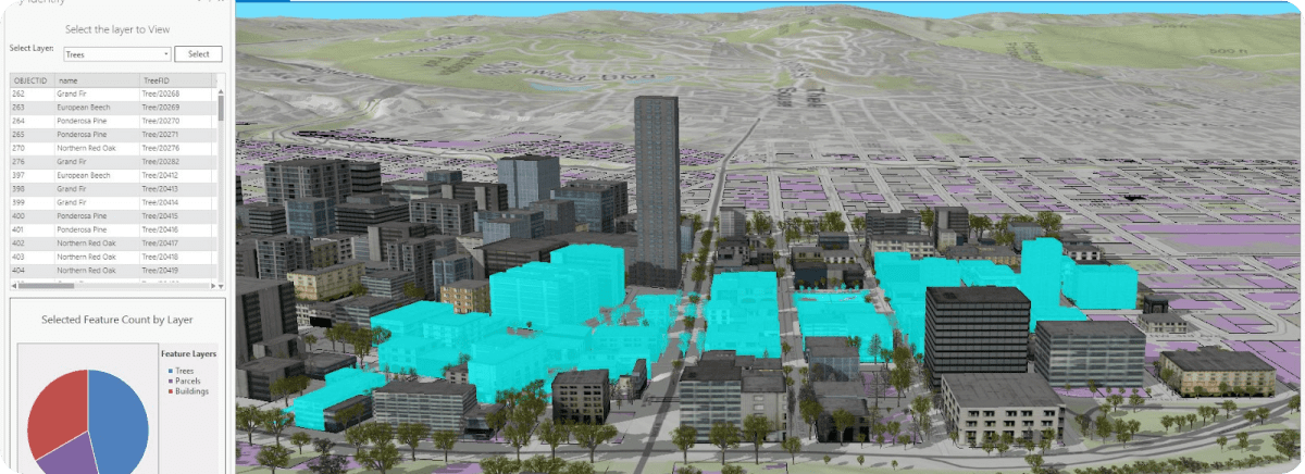
The platform allows users to view risk data on a map, which helps to identify the areas that are most susceptible to certain types of risks. This feature enables businesses and institutions to make informed decisions when it comes to risk mitigation.
Real-time monitoring
Polaris Digitech Risk Geoplatform provides real-time monitoring of potential risk events, such as natural disasters, political unrest, and cyberattacks. This allows businesses, insurance companies and institutions to take action quickly and effectively when an event occurs
Customizable alerts
The platform allows users to set up alerts based on specific risk parameters, such as proximity to natural disaster zones or changes in political risk ratings. This feature ensures that users are always aware of potential risks and can take appropriate action.
Collaboration tools
Polaris Risk Geoplatform allows for collaboration among team members, enabling them to share risk data and analysis, as well as coordinate responses to potential risks.
Product in use
Previous Product
Next Product
Address Management Portal
This is an efficient platform that handles the address verification and management needs of clients with large customer datasets.
Google Workspace
Polaris Digitech Limited provides these services along with accurate data and imagery that can be used in decision-making processes, planning, and analysis.