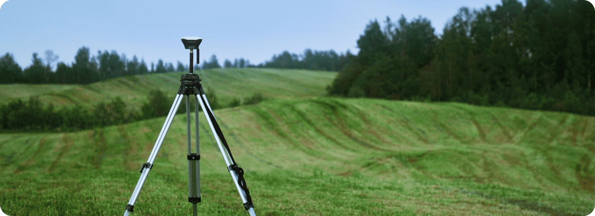
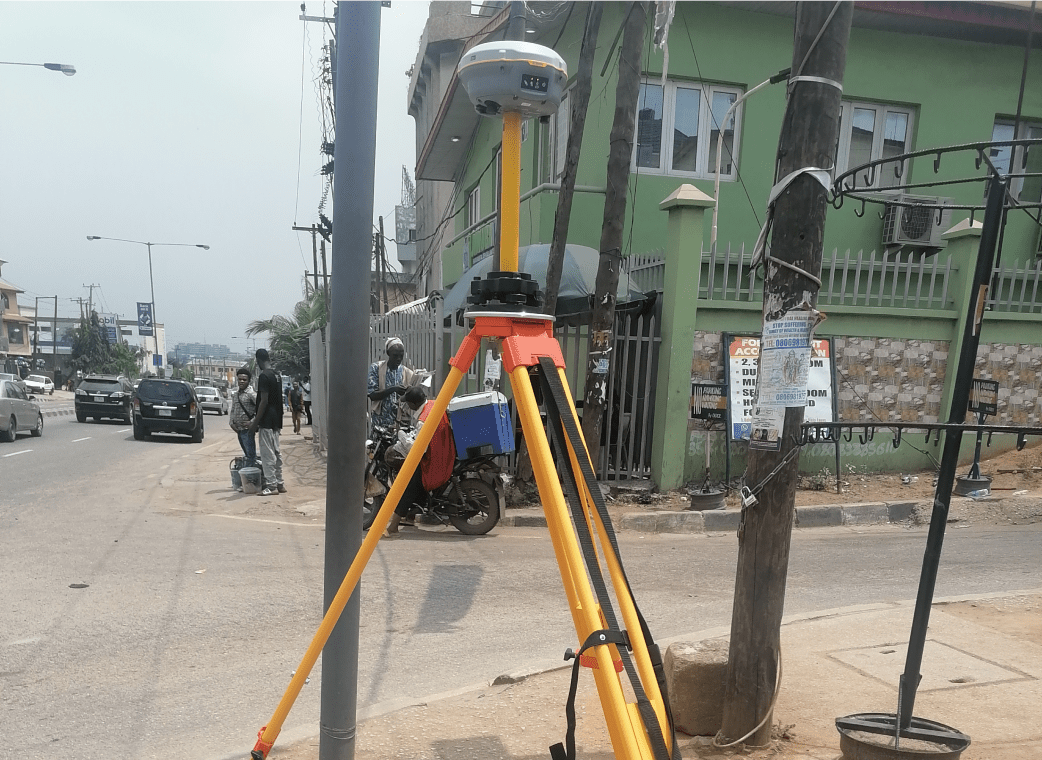
Our Mapping services involves the creation of digital maps that accurately represent a particular area's features, including its topography, contours, and elevations. These maps are created using aerial photography, satellite imagery, and GIS technology. Our Surveying services, on the other hand, utilizes the measurement and analysis of land, buildings, and infrastructure using specialized equipment and technology. These services are used to create topographical maps, determine property boundaries, and survey construction sites.
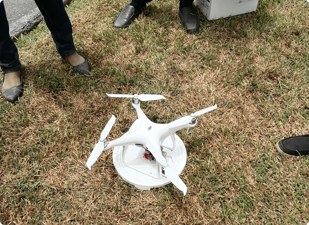
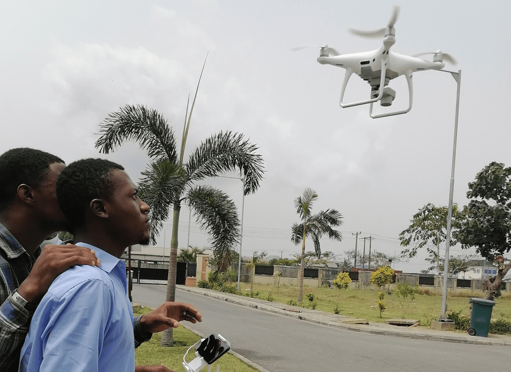
Similarly, our drone services are becoming increasingly popular in the mapping and surveying industry because of our willingness to incorporate drones as unmanned aerial vehicles that can capture high-quality aerial imagery and video footage. They are used in various applications, including land mapping, 3D modelling, building inspections, and surveying. Overall, Our mapping, survey, and drone services are essential in various industries, providing accurate data, and imagery that aids in decision-making processes, planning, and analysis.
The process
Key Features
CENTIMETER RESOLUTION MAPPING
At PDL, we always lays emphasis on the use of bespoke algorithms to capture every bit of information or details up to 0.1cm map products. Our mapping experts always provide vast and robust imagery that can be used for planning, negotiation, and assessments thereby paving the way for unrivalled access to data-led spatial decision support systems.
DRONE MAPPING
At Polaris Digitech Limited we equipped with vast experience in satellite image acquisition, with the simple use of remote sources, our drones are equipped with high-resolution Unmanned Aerial Vehicle (UAV) cameras that are capable of collecting the very best geo-rectified and colour-corrected images that are available with no cloud cover.
At PDL, we conduct drone data processing and mapping services with comprises of the following; Orthophoto (mapping), Contour / Elevation, Digital surface model and digital, Terrain model, Point cloud, Slope, Detailed 2D and 3D models
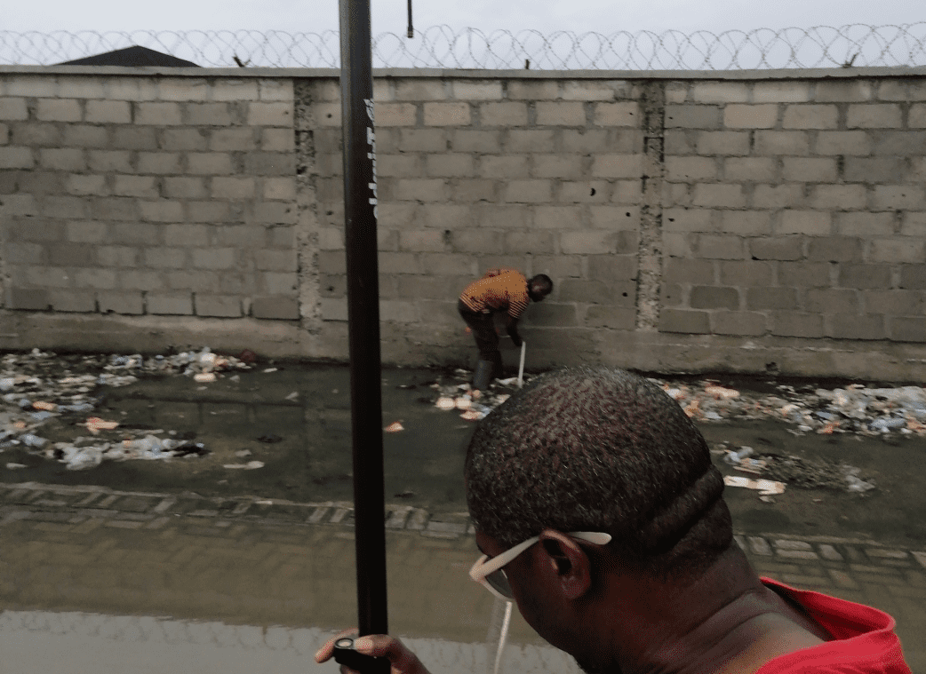
DRONE INSPECTION
Our drone inspection services consists of;
Construction (roads, buildings)
Quick on-site of the drone inspection system
50+
Projects completed for this service
20+
Satisfied customers
10+
Products shipped
30+
Projects completed for this service
Gallery
Previous Product
Next Product
Software Development
We operate with the mindset that the process of designing software products should be centred on the user while integrating an innovative and practical solution approach that places the user’s ideas, business requirements, and product specification as a top priority.
Geo-Spatial Data Acquisition
Management
At Polaris Digitech Limited, we are fully committed to the idea of acquiring accurate, detailed, and fully reliable data that can be used for the planning of urban and rural development.