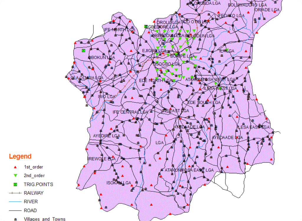
OLIS-Osun Land
An application to effectively manage the day-to-day activities of the Osun state
ministry of Land and physical planning
Project Overview
The OLIS - Osun Land Information System is a state-of-the-art land management system designed to facilitate the effective management of land and physical planning in Osun State. The central objective of the project is to provide a user-friendly application for the Osun State Ministry of Land and Physical Planning to automate their day-to-day activities and enhance their operational efficiency. The primary function of the OLIS is to provide accurate and up-to-date information on land ownership, land use, and physical planning activities in the state. The system is designed to streamline the process of land registration, transfer of ownership, and issuance of land titles, making it faster and more efficient.
The OLIS system is developed by Polaris Digitech Limited, a reputable IT company with extensive experience in developing software for land management and physical planning. The application is designed to provide a user-friendly interface that facilitates easy navigation and quick access to relevant information. The OLIS-Osun Land Information System is expected to improve the transparency and accountability of land management in Osun State and reduce the incidence of land disputes and conflicts. It will also aid the government in planning and infrastructure development, and promote economic growth and development in the state.