MapInfo
MapInfo is a geographic information system (GIS) software that provides innovative products and solutions to power commerce. MapInfo provides a powerful suite of tools that enables users to visualize and analyse spatial data, such as demographic information, land use patterns, and transportation networks. The software allows users to create maps, perform data analysis, and share information visually, making it an ideal tool for various industries such as urban planning, environmental management, and business intelligence. MapInfo Pro has been widely adopted by governments, businesses, and organizations around the world, and it continues to evolve to meet the demands of its users. As such Polaris Digitech Limited optimizes the full functionality of MapInfo Pro to create bespoke MapInfo and location analysis/services.
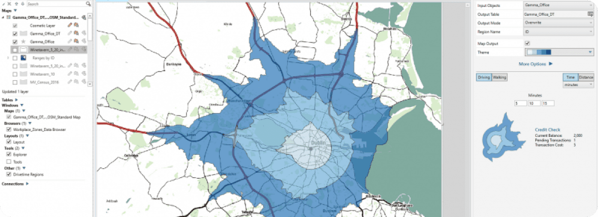
Geospatial information is an essential component in making well-informed decisions that can enhance efficiency and accelerate growth in today's fast-paced business arena. To unleash the complete potential of your data, you require a reliable GIS solution that allows you to visualize data across different periods and locations. Fortunately, MapInfo Pro is here to fulfil this need.
Key Features
Comprehensive Visualization
With MapInfo Pro, you can effortlessly represent data across different time periods and geographic locations, providing the ability to identify patterns and trends that may not be discernible in other types of data.
Accelerated Time-to-value
MapInfo Pro has been created with the aim of helping you utilize your data as efficiently as possible. It allows you to conveniently transfer data from various sources, thus reducing the amount of time and energy required.
Trusted Solution
MapInfo Pro is a reliable software solution that is widely used by businesses and organizations of varying sizes, be it small start-ups or large enterprises. You can have faith in MapInfo Pro to provide precise and dependable outcomes. Maximize the capabilities of your geospatial data to aid in making knowledgeable judgments that enhance productivity and development
Seamless Integration
MapInfo Pro can easily and smoothly blend with other corporate software, which enables you to make the best use of your current technological resources.