Polaris Digitech is a leading provider of high-resolution imagery and geospatial data solutions. With a team of experienced professionals and state-of-the-art technology, Polaris Digitech specializes in providing accurate and up-to-date imagery of the earth’s surface. The company’s imagery is used across a variety of industries including agriculture, energy, transportation, and defence for mapping, monitoring, and analysis purposes. Polaris Digitech is committed to delivering the highest quality data and helping its clients make informed decisions based on accurate and reliable information.
We provide high-resolution satellite imagery data. We collaborate with two of the biggest satellite imagery OEMs to offer best-in-class imagery data and high-precision derivable products and services.
Key Features
High Resolution
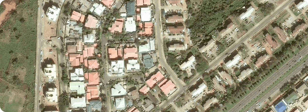
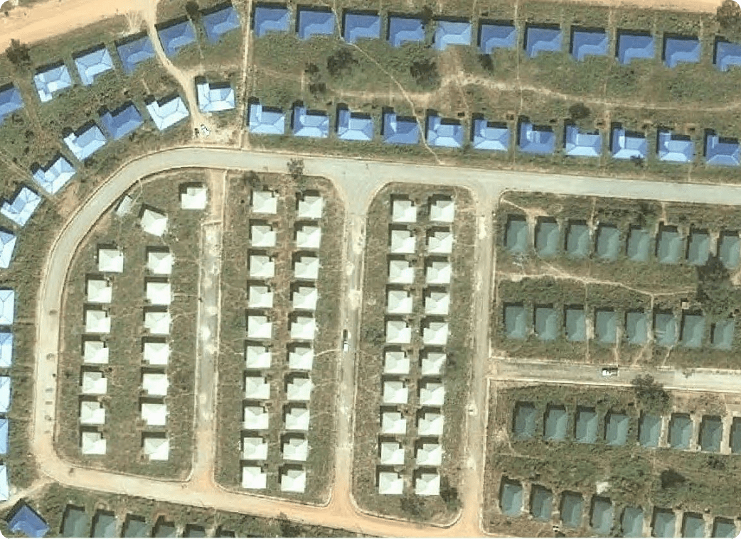
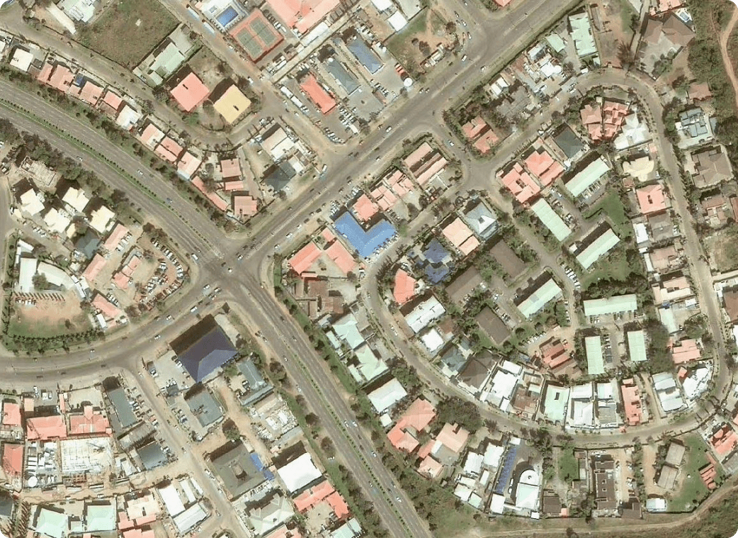
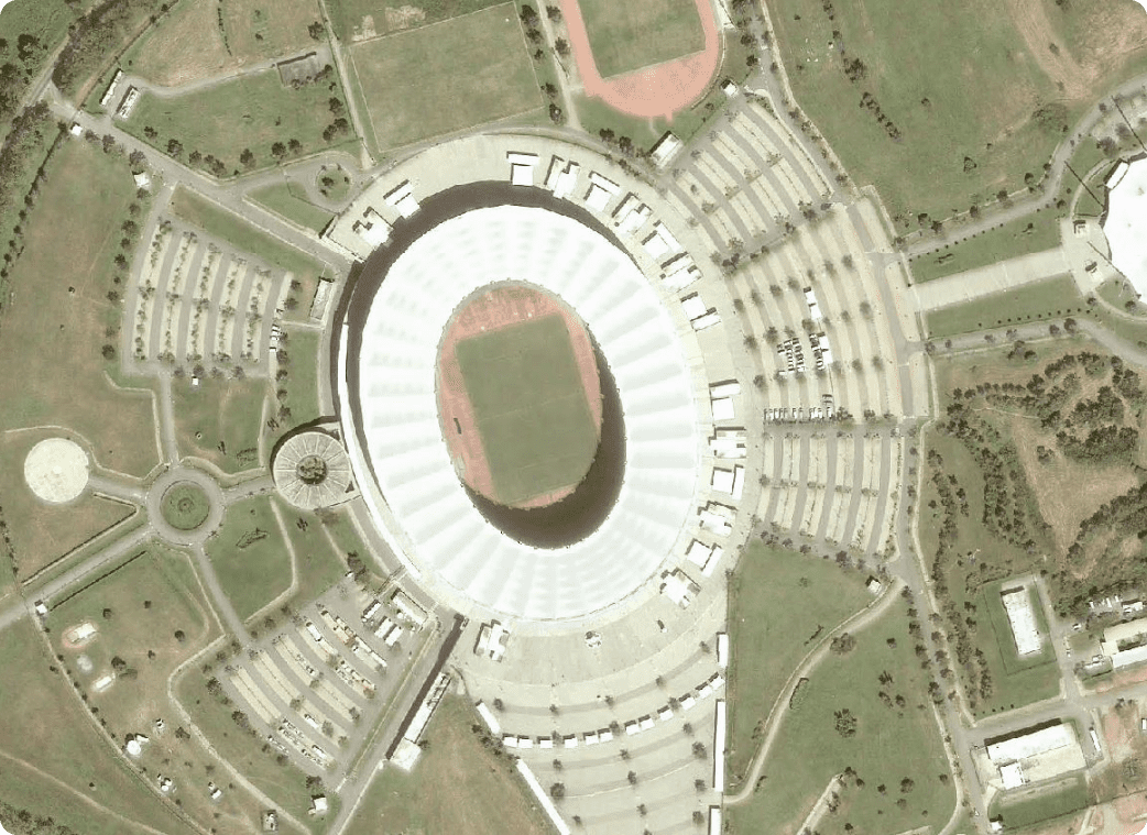
Polaris Digitech imagery is captured at very high resolutions, giving customers a clear and detailed view of the earth's surface. The resolution can range up to 30cm, which means that even the smallest details can be seen.
Varieties of Imaging Sensors
The company offers a variety of imaging sensors such as multi-spectral, hyperspectral, and high-definition panchromatic imaging to capture diverse types of data across the electromagnetic spectrum.
Rapid Delivery
Customers can access the imagery within hours of its capture, thanks to the company's highly-efficient processing systems.
Wide Area Coverage
Polaris Digitech high-resolution imagery covers a large area at once, reducing the need for repeated capture and ensuring uniformity in data sets.
Customization
The company offers a customized solution to meet user's specific needs, such as the classification of land use, the monitoring of natural resources, and tracking of natural disasters.
High Accuracy
The imagery is geo-referenced to ensure high accuracy in measurements, and the company uses satellite positioning systems to achieve this
Product in use
Previous Product
Next Product
Google Maps
Our training services cover a wide range of areas, including technical training, software training, solutions training, business analysis, and many more. We work closely with our clients to understand their specific needs and goals.
MapInfo
Polaris Digitech Limited provides these services along with accurate data and imagery that can be used in decision-making processes, planning, and analysis.