LAGFerry
Deployment of Geo-enabled ICT Surveillance centre for Boats,
Ships in Lagos state.
Project Overview
Lagos State Ferry Service initiated the 'Lag Ferry' project in collaboration with Polaris Digitech Limited to deploy an advanced Geo-enabled ICT Surveillance center for boats and ships operating within Lagos State. The objective of the project is to enhance the safety and security of ferry passengers and crew, monitor vessel movements, and provide real-time information to stakeholders in the maritime sector. Polaris Digitech Limited, a leading technology firm oversaw the design, installation, and maintenance of the surveillance center. The centers are equipped with state-of-the-art technologies such as CCTV cameras, automatic identification systems, and geo-fencing capabilities to effectively monitor vessels operating within Lagos State waters. The 'Lag Ferry' project is a crucial step towards enhancing the safety and security of passengers and crew operating in Lagos State waters.
The surveillance center will also provide valuable information to stakeholders in the maritime sector, such as port authorities, ship owners, and regulatory bodies, to make informed decisions regarding vessel safety and security. The Lagos State Ferry Service is committed to promoting safe and efficient water transportation services in Lagos State, and the 'Lag Ferry' project is a testament to this commitment. The system enables the Lagos State Ferry Service to manage water transport operations, monitor any incidents or emergencies, and respond proactively to any potential threats or risks. Overall, the Lag Ferry project is a strategic initiative aimed at modernizing and improving the water transport sector in Lagos State. It will help to boost the economy of the state by ensuring safer and more efficient water transportation for residents and visitors alike.
Main Features
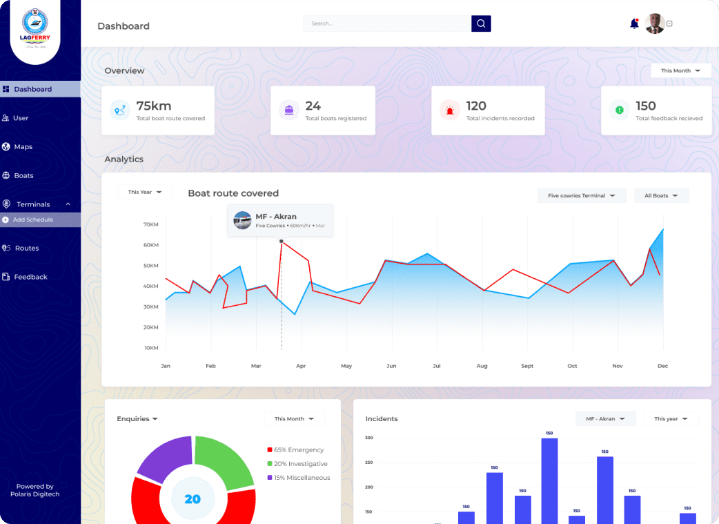
Geo-Enabled
LAGFerry has a location-based system that allows it to collect and analyse data from various sources and present it on a map for easy interpretation.
Video Surveillance
The centre has a network of video cameras strategically placed in different areas of the city to monitor activities and alert authorities of any suspicious behaviour.
Emergency Response
In case of any emergency, the surveillance center can quickly send alerts to the relevant authorities, including the police, fire department, and ambulance services.
Real-Time Data Collection
LAGFerry collects and analyses real-time data from various sources, including social media, weather stations, and traffic sensors, to provide timely and accurate information for safe boat sailing.
Collaboration
LAGFerry promotes collaboration among different agencies, including the police, emergency response teams, and the public, to enhance security and emergency response efforts.
Mobile App
The centre has a mobile app that allows citizens to report suspicious activities, accidents, and emergencies, and receive alerts on their smartphones.