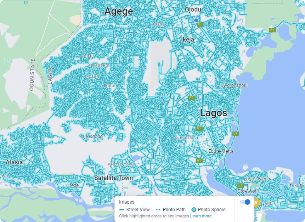
Our Mapping services involve the creation of digital maps that accurately represent a particular area's features, including its topography, contours, and elevations. These maps are created using aerial photography, satellite imagery, and GIS technology. Our Surveying services, on the other hand, utilizes the measurement and analysis of land, buildings, and infrastructure using specialized equipment and technology.
These services are used to create topographical maps, determine property boundaries, and survey construction sites.
Similarly, our drone services are becoming increasingly popular in the mapping and surveying industry because of our willingness to incorporate drones as unmanned aerial vehicles that can capture high-quality aerial imagery and video footage. They are used in various applications, including land mapping, 3D modelling, building inspections, and surveying. Overall, Our mapping, survey, and drone services are essential in various industries, providing accurate data, and imagery that aids in decision-making processes, planning, and analysis.
Our Clients
Needs Assessment:
This stage involves understanding the client’s needs and goals for the GIS project. It involves gathering information on the data that will be used, the software and hardware required, and the desired outputs.
Data Collection:
This stage involves gathering spatial data relevant to the GIS project. The data could be obtained from various sources such as satellite imagery, surveys, existing databases, and other sources.
Data Cleaning and Processing:
This stage involves cleaning and processing the data to ensure it is of good quality and is suitable for use in the GIS project. It involves removing errors, inconsistencies, and redundant data.
Data Analysis:
This stage involves analyzing the data collected and processed to understand the patterns and trends in the data. It involves using GIS tools to examine the data and derive insights from it.
GIS Support and Maintenance:
This stage involves providing ongoing support and maintenance for the GIS system. It involves providing technical support, troubleshooting, and periodic updates to ensure the system is up to date-and functioning optimally.
50+
Projects completed for this service
20+
Satisfied customers
10+
Products shipped
30+
Projects completed for this service
Gallery
Previous Product
Next Product
Survey and Drone Services
Polaris Digitech Limited provides these services along with accurate data and imagery that can be used in decision-making processes, planning, and analysis.
Customer Address Verification
Polaris Digitech Limited’s Customer Address verification is important for businesses as it reduces the risk of returned parcels, failed deliveries, and inaccurate data.