
Google Maps
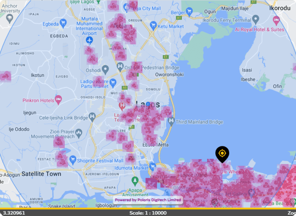
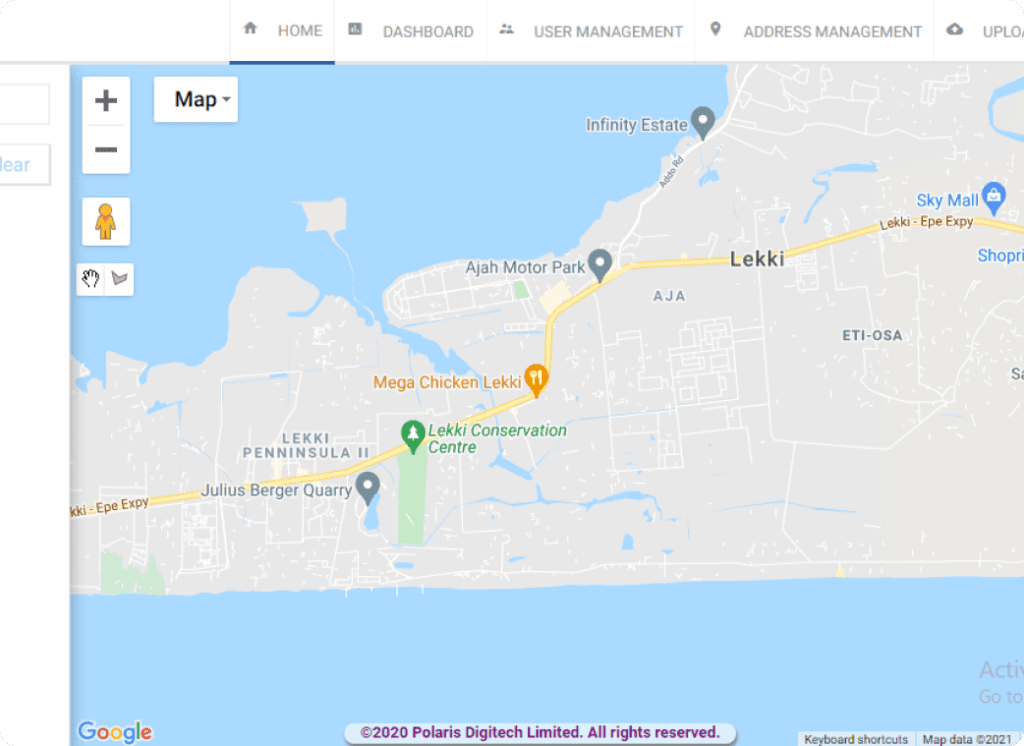
Google Maps is a web-based mapping service developed by Google. It provides real-time traffic updates, satellite imagery, street maps, and aerial photography of buildings and landmarks. Users can search for businesses, navigate to their desired location, and view information about nearby attractions, restaurants, and other points of interest. Google Maps is available on desktops and mobile devices, and it also offers voice-guided turn-by-turn navigation for users on the go.
Key Features
Customization
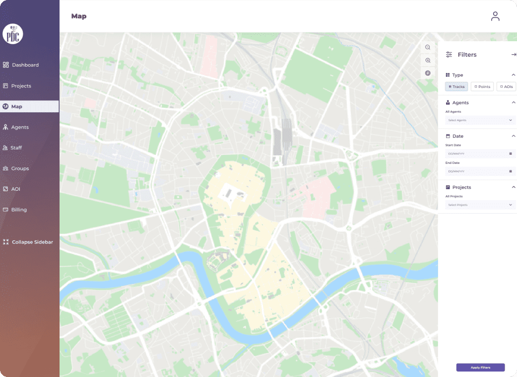
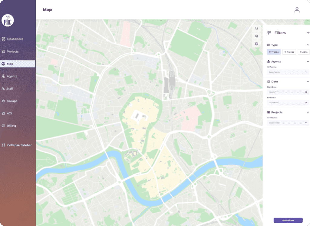
Polaris Digitech Google Maps solution allows businesses to customize the map to match their branding and design. This ensures that the map fits seamlessly into their website or mobile app, without compromising the user experience.
Geocoding and Address Validation
The solution provides accurate geocoding and address validation to ensure that businesses can locate their customers and deliver products or services efficiently.
Route Optimization
Customers can access the imagery within hours of its capture, thanks to the company's highly-efficient processing systems.
Real-time Location Tracking
The solution allows businesses to track the location of their vehicles, employees, or assets in real-time. This ensures that businesses can respond quickly to customer needs and improve their overall service quality.
Custom Markers and Overlays
The solution allows businesses to add custom markers and overlays to the map, making it easy for users to locate specific points of interest.
Street View Integration
Polaris Digitech Google Maps solution provides seamless integration with Google Street View, allowing users to explore their surroundings in a 360-degree view.
