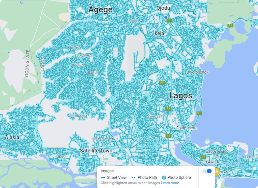
Google Street View
Collect street names, environmental features, and building/house/structure details to
aid remote view of locations.
Project Overview
Google Street View project is a very unique project to PDL because it has the features that enables it to obtain street names and environmental statistics. This provides Google Maps users with a 360 degree view of their interested locations. This project cover the Southern part of Nigeria and some part in the North


Main Features
Geo-Enabled
LAGFerry has a location-based system that allows it to collect and analyse data from various sources and present it on a map for easy interpretation.
Video Surveillance
The centre has a network of video cameras strategically placed in different areas of the city to monitor activities and alert authorities of any suspicious behaviour.
Emergency Response
In case of any emergency, the surveillance center can quickly send alerts to the relevant authorities, including the police, fire department, and ambulance services.
Real-Time Data Collection
LAGFerry collects and analyses real-time data from various sources, including social media, weather stations, and traffic sensors, to provide timely and accurate information for safe boat sailing.
Collaboration
LAGFerry promotes collaboration among different agencies, including the police, emergency response teams, and the public, to enhance security and emergency response efforts.
Mobile App
The centre has a mobile app that allows citizens to report suspicious activities, accidents, and emergencies, and receive alerts on their smartphones.