,
Our Product Offerings: Proprietary Products

Polaris Data Collector
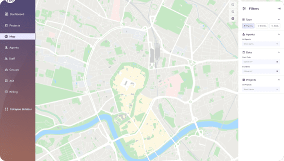
The Polaris Data Collector (PDC) is a data collection tool that enables real-time data gathering using custom-designed forms. Our Data collector is a computerized system that collects and stores data in an electronic form.
Address Management Portal
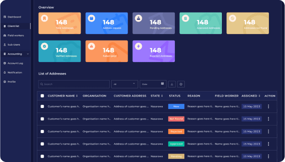
This is an efficient platform that handles the address verification and management needs of clients with large customer datasets.


Risk-Geo Platform
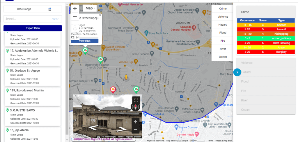
At PDL, we developed and deployed a portal that can function as a Location Intelligence platform.
Our Product Offerings: Partner’s Products
Google Workspace for Business
At Polaris Digitech Limited, we provide a seamless platform that enables our clients to get the best experience when trying to integrate cloud-native applications with Google workspace (Gmail, Drive, Calendar, Meet) and Google Cloud Platform.




Google Cloud Platform
Cloud platform computing is a term used to describe on-demand computing resources, including hardware, software, database, and networking, that are connected to customers, clients, and employees via the internet.
Google Maps
At Polaris Digitech Limited, we developed Google maps software technology that allows us to be able to collect, analyze and study geospatial data, and study the data in order to create maps, and interpret spatial patterns.



High Resolution Imagery
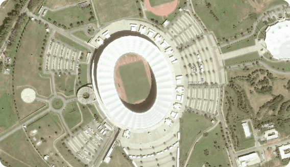
We provide proprietary satellite imagery and geospatial analytics to decision-makers and analysts across multiple industries, who require a precise and remote view of our changing plane
MapInfo
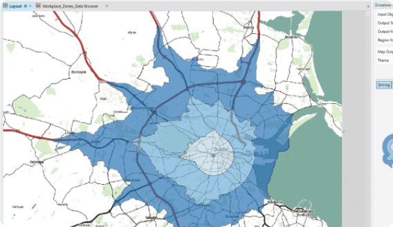
At PDL, our team of experts utilizes the full strengths of MapInfo, which is a geographic information system (GIs) software product developed by Precisely. We utilize MapInfo for mapping and location analysis.


Google Workspace for Education
Google Workspace for Education is a platform that provides educational tools and services to students, teachers, and schools.